Downtown, at the courthouse
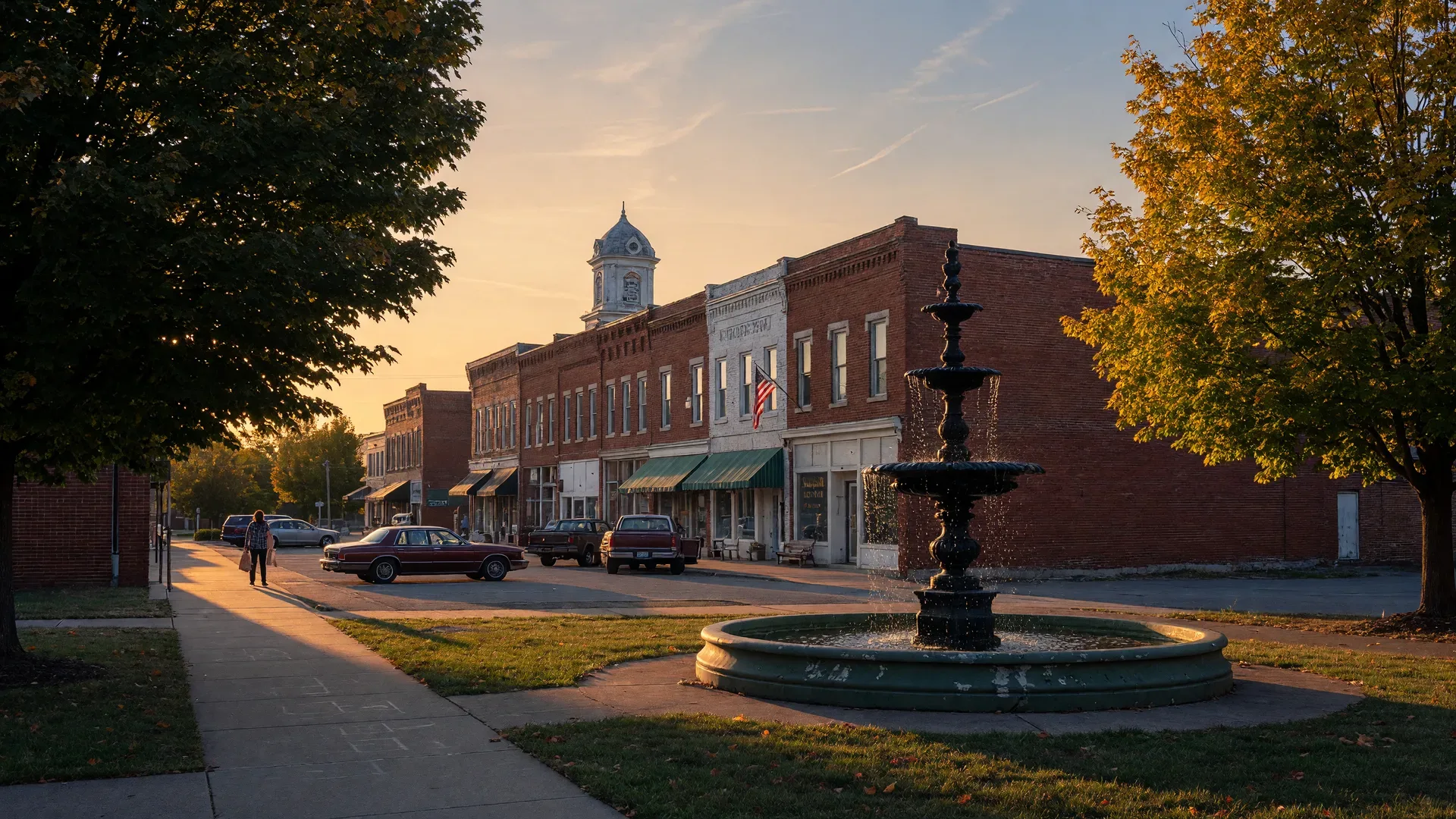
Fountain Square Park
The historic heart of town: the 1872 limestone fountain, free concerts, and the Saturday farmers market.
Best for: People-watching, a downtown lunch break, catching the market.
Parks & Recreation
The parks map, in one place: city and county parks, the greenways and trail loops, the pools and recreation centers, and the state parks worth the drive. Each entry is a real, verified place, with the honest answer to the only question that matters: what is it best for?
City parks · Bowling Green Parks & Recreation
More than 800 acres of parkland across town.
Bowling Green Parks and Recreation runs the city\u2019s parks, trails, pools, and community centers. The full directory lives at bgky.org; here are the ones we actually drive to.
Downtown, at the courthouse
The historic heart of town: the 1872 limestone fountain, free concerts, and the Saturday farmers market.
Best for: People-watching, a downtown lunch break, catching the market.
West side
About 48 acres of ball fields, a 1.25-mile jogging trail, and open grass. Where most of the county’s weekends get scheduled.
Best for: Family picnics, trail running, league games.
West side
Ball fields and a one-mile walking trail, a dependable west-side spot for an easy loop.
Best for: A measured walk or run, little-league afternoons.
Neighborhood park
A quiet neighborhood park with big trees and room to spread out.
Best for: Family picnics and a blanket on the grass.
Southwest side
A nature preserve with walking trails near the cave country, where the pavement gives way to woods.
Best for: Trail walks, birding, leaving the pavement behind.
Downtown
The open plaza between the ballpark and downtown, where the big festivals and markets land.
Best for: Downtown events and a bench with a coffee.
On the Barren River
A riverside park with boat access, a short way from the city center.
Best for: Putting in a boat, fishing the river.
South side
The city’s dedicated soccer complex, running a full weekend of games through the season.
Best for: Youth soccer and weekend sidelines.
Bowling Green
A fenced, off-leash dog park where the dogs do the socializing.
Best for: Letting the dog run the whole field.
County parks · Warren County Parks & Recreation
Wide open, mostly ball fields and disc golf.
Warren County runs its own park system, from the 109 acres at Basil Griffin to the small-town green in Smiths Grove. The official directory is at warrencountyky.gov.
Three Springs Road
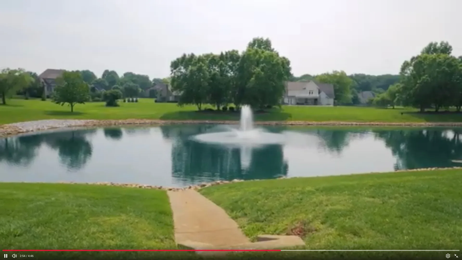
The county’s big one, about 109 acres: Aviation Heritage Park, the Paradise Playground, pickleball and tennis courts, a walking trail, and a lake with a boat ramp.
Best for: Family picnics, fishing, pickleball.
Mount Olivet Road
About 143 acres of ball fields, batting cages, disc golf, and a walking trail on the north side.
Best for: Disc golf and organized sports.
Nashville Road
About 90 acres of ball fields, a walking trail, and one of the county’s disc golf courses.
Best for: Disc golf and a quick trail loop.
Smiths Grove
A small-town park in the heart of Smiths Grove, about twenty minutes north of the city.
Best for: A quiet stop with room for the kids to run.
Trails & greenways
Twelve-plus miles of trail and counting.
The greenway threads the city\u2019s creeks and ties its parks together, and a handful of loops give runners and walkers a measured route close to home. The BikeWalk BG map is the authoritative place to plan a route.
See the official trail map
Citywide network
The walking and cycling network that threads the city’s creeks and ties the parks together, with connections that keep growing.
Best for: Commuting by bike, long runs, family rides.
Along the Barren River
The greenway path along the river in the heart of town, flat and open and good for any pace.
Best for: Riverside walks and easy bike rides.
Spero Kereiakes Park
A measured 1.25-mile loop around the park, with enough shade to make it pleasant mid-summer.
Best for: A timed run or a steady walk.
Southwest side
Wooded paths through the nature preserve, short enough for a quick escape and rough enough to feel real.
Best for: Woodsy trail walks and birding.
Nashville Road
Trails above the cave system, from an easy loop by the visitor center to the deeper green behind it.
Best for: A nature walk before or after the boat tour.
Recreation centers & pools
Indoor tracks, gyms, pools, and a splash pad.
Downtown, Third Avenue
The city’s athletics and fitness hub: a fitness facility, courts, and youth and afterschool programs.
Best for: Indoor workouts and youth programs.
bgky.orgDowntown, College Street
An indoor walking track, basketball courts, and gyms, the go-to when the weather will not cooperate.
Best for: Indoor walking and pickup basketball.
bgky.orgJenkins Drive
A playground, basketball and multi-use courts, and a picnic shelter serving the Parker-Bennett neighborhood.
Best for: Neighborhood play and court games.
bgky.orgBowling Green
The city’s public swimming pool, open through the warm months for laps and open swim.
Best for: Swimming laps and cooling off in summer.
Bowling Green
A splash pad built for the under-ten crowd, a free and easy way to beat a hot afternoon.
Best for: Kids’ water play on hot days.
Bowling Green
The city-owned course where a round never has to be a production.
Best for: A relaxed round of golf.
State parks & nature escapes
A lake, a cave system, gardens, and a raceway.
South Central Kentucky packs a lot of outdoors within an hour of the square. A few of these also live on the Local List, and they earn the repeat visits.
Lucas, about 45 minutes southeast
The state park on the 10,000-acre lake: a marina, a swimming beach, hiking, golf, camping, and cabins.
Best for: A full lake weekend: camping, swimming, fishing.
parks.ky.govAbout forty minutes up I-65
The world’s longest known cave system, with guided tours from easy to strenuous.
Best for: Guided cave tours and backcountry quiet.
nps.gov/macaSouthwest side, Nashville Road
Kentucky’s only underground boat tour, plus hiking trails and a butterfly habitat in season.
Best for: The boat tour and the nature trails.
lostrivercave.orgWest side, Morgantown Road
Curated gardens and a small museum, free to wander in any season.
Best for: A slow garden stroll with no agenda.
jerryebakerfoundation.orgOn the Barren River
Amusement park, drag strip, and campground on the river, the summer tradition families plan around.
Best for: A summer day of rides, races, and camping.
beechbend.comOne honest note: park hours, fees, and pool seasons change with the calendar. Confirm details on the official city, county, and state pages before you load the car, and treat this map as the starting point it is.
Find them on the map
City parks, county parks, and the trails between them.
The map below centers on the Bowling Green area. Use the links under it to open any park or trail in Google Maps full size, then check the route before you load the car.
City parks
State parks and nature escapes like Mammoth Cave and Barren River Lake are a drive out of town; the links on their cards above cover those.
From the map to the move
Which park matters most to you often decides which side of town to live on. The Living in Kentucky Team\u2019s relocation guides cover the neighborhoods, schools, and commutes that pair with the parks on this page.